Lake Atitlan, Guatemala. The sides less traveled
All photos are copyright by Evan Ravitz and for sale. Nonprofit use of these small images is free if credit is given. Email: evan (at) vote.org
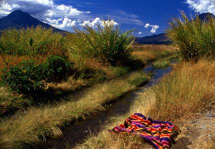
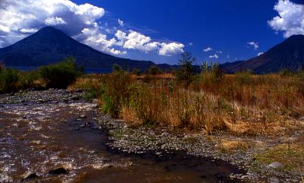
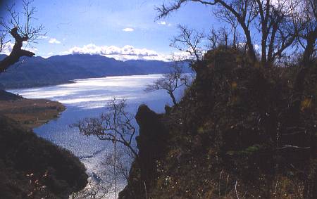
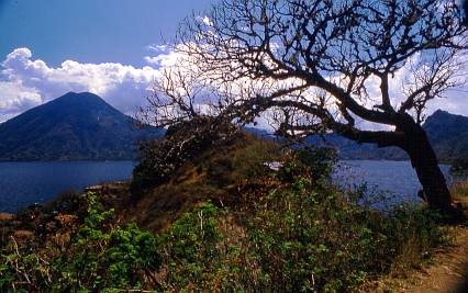
Counter-clockwise from Panajachel the lake becomes much wilder. First there's a hill-hugging path, then this delta from the river coming down from
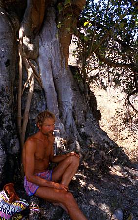
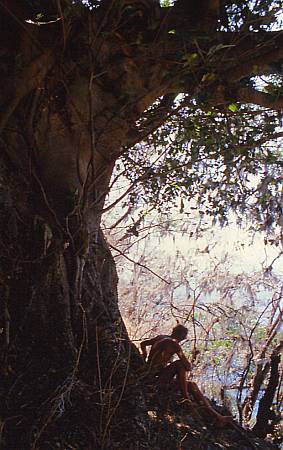
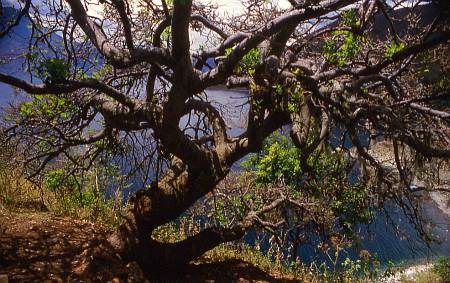
David Steiner from Bisbee, AZ at the sacred tree where the delta ends and more hill-hugging begins.
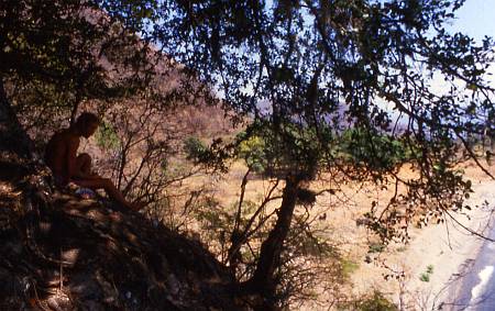
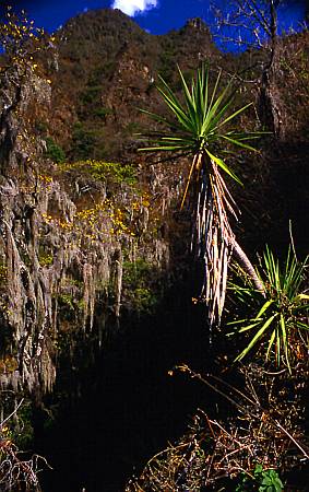
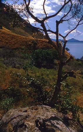
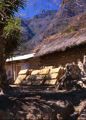
It gets jungly with a lot of Spanish moss.
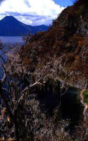
There's an impassable headland you skip by climbing this 900 foot high pass.
A little water pocket in a rock.
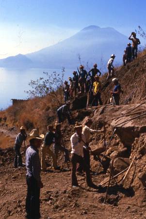
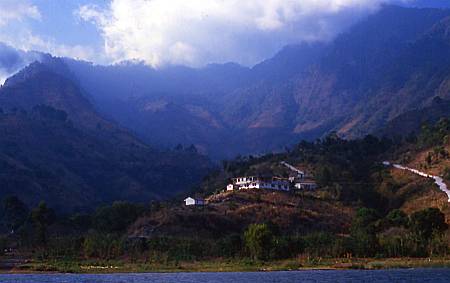
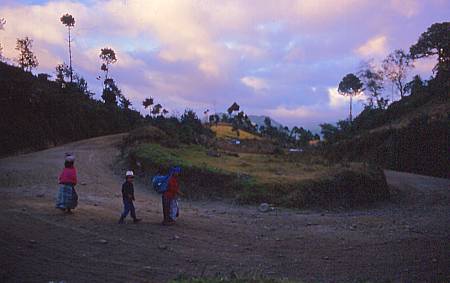
Building a road from the lake some 450 feet up to the village of Santa Cruz.
Adobe bricks
1000 feet above Santa Cruz is San Jose Chacaya, with sunrise just hitting the church here.
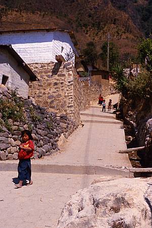
Next village continuing counter-clockwise from Santa Cruz is the stunning Tzununa.
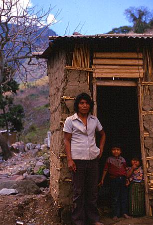
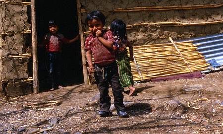
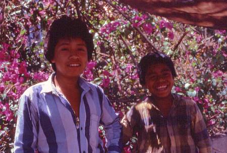
This family definitely wasn't used to outsiders.
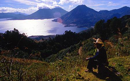
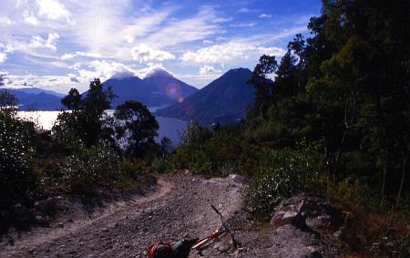
I bicycled around the lake three times, a trip of about 50 miles of dirt road and 25 paved, with 10,000 vertical feet of climbing. This is the view from the high point at about 9000' elevation, 4500' above the lake, and just 1000' below the summit of the littlest Volcan San Pedro, here on the right.
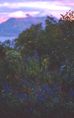
I always camped here in the flowers. COLD in the morning!
The bend at the highest point of the road around the lake.
At the high point this Via de los Angeles (Way of the Angels) departed from the road for a steeper and less dusty descent.
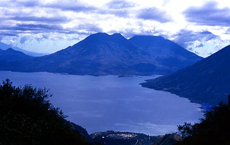
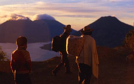
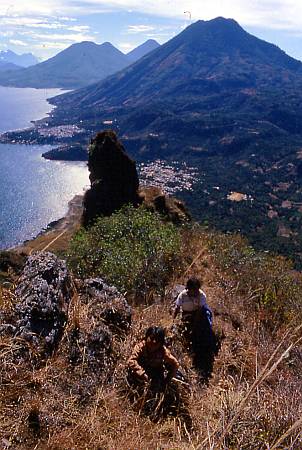
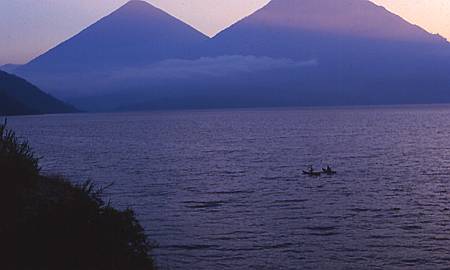
The towns of San Pablo la Laguna, lower middle, and San Pedro la Laguna, at the foot of Volcan San Pedro, right.
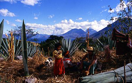
Back down at lake level, harvesting the all-purpose agave leaves.
This is from further from the lake, probably from near Santa Maria Utatlan, on the PanAm Highway.
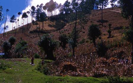
This woodlot has been heavily trimmed for firewood.
The Cave of the Witches, one of eleven sacred sites around the lake, is at the foot of this pillar on the cliff edge. An old woman and her grandchild took me and Kate, who was a Peace Corps volunteer in Santa Maria Visitacion. Hair-raising! The town of San Juan la Laguna is immediately below, the larger San Pedro la Laguna further back.
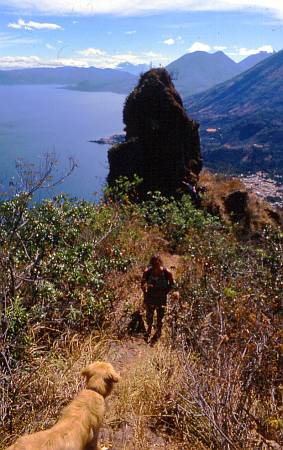
Kate and dog. Nobody worked harder than Kate.
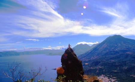
I climbed up on the pillar
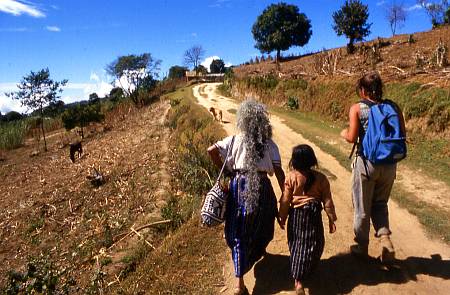
The old woman carried Spanish Moss back home on her head.
Sleepy San Pedro served the low-rent younger travelers. Coffee plantations everywhere.
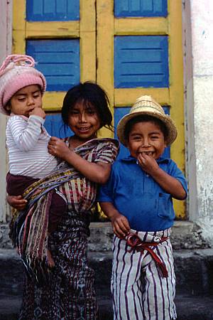
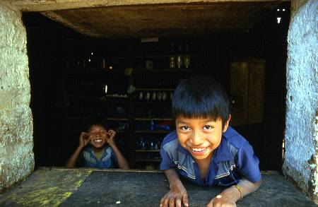
Atiteco kids wearing traditional garb of Santiago Atitlan, the largest town on the lake.
Some 30,000 Tzutujil Indians live here, with perhaps 100 Latinos and a dozen foreigners.
The Atitecos managed to evict the hated Guatemalan Army after a massacre in 1990. Read the full story.
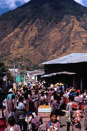
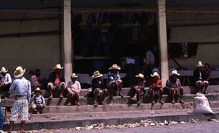
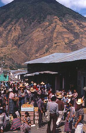
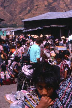
The edge of the fabulous Saturday Market. Many exotic fruits, some several feet long.
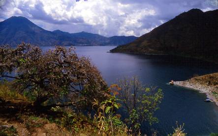
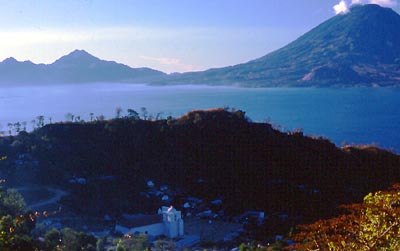
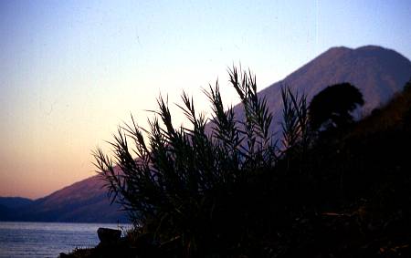
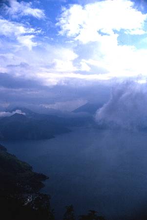
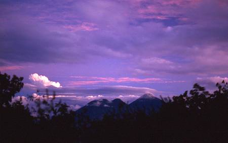
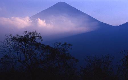
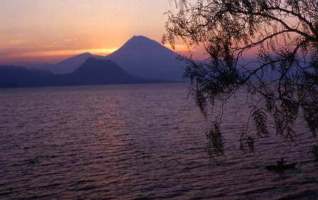
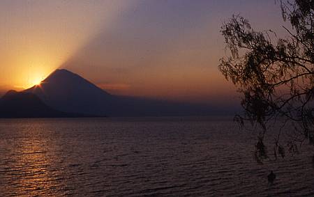
The end of enchanting Santiago Bay, between the three volcanoes.
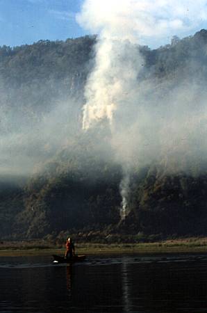
Burning the fields begins in March. Planting is done before the wet season starts in May.
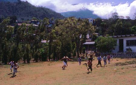
Soccer game by the main boat landing.

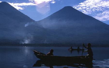
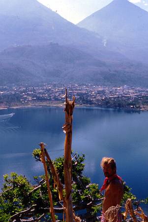
David Steiner and I paddled a folding boat around most of the lakeshore, spending 3 days. Here he's on some volcanic rocks in front of the Cerro de Oro, sort of a little dud volcano about 1000 feet high, with the Toliman and San Pedro volcanos behind.
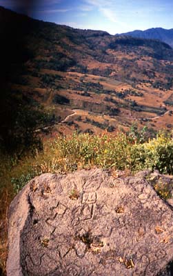
Petroglyph on the rocks atop the Cerro de Oro. Road from Santiago Atitlan to San Lucan Toliman below. (Sorry about the camera strap blocking the view.)
This is from Chuitinamit, a hill on the flank of Volcan San Pedro, where the Tzutujil lived before the Spanish forced them to an easier place to subjugate them: present-day Santiago Atitlan, in back.
The terraced hills above San Lucas.
The town of San Lucas Toliman, where coastal produce is traded for lake basin produce. Mostly Latino.
The next few are from an almost unpopulated shore of the lake, below Agua Escondido.
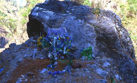
A little rock shrine.
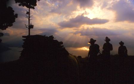
The last ones are all from a mirador (overlook) near Godinez.

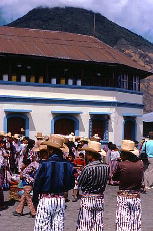
San Antonio Palopo below. San Lucas in the back bay.
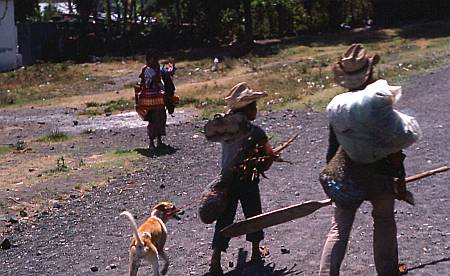
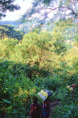
Bringing up a load of firewood.
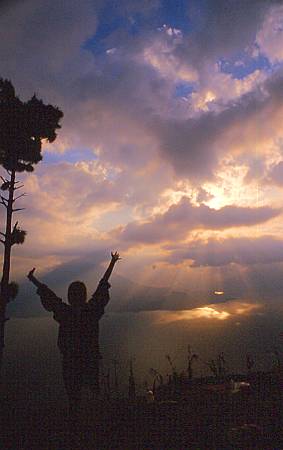
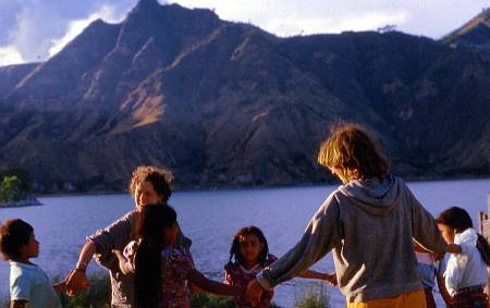
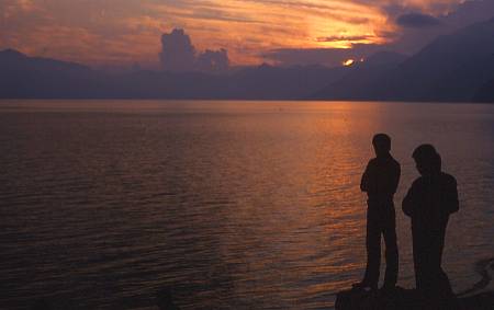
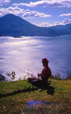
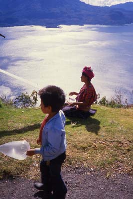
Peri-elaine Paschal honoring the sunset.
You can view, search and comment on my and others' photos at Flickr, the best new thing on the internet:
www.flickr.com
|
Don't forget to visit the fabled Vote.org!