Copper Canyon travels
All photos are copyright by Evan Ravitz and for sale. Nonprofit use of these small images is free if credit is given. Email: evan (at) vote.org
I first went to the bottom of "Copper Canyon" for Christmas and New Years 1984-5 on the recommendation of Fred Hopman of Taos, NM, where I lived from 1974-8. Thanks, Freddie! All these hikes started at Divisadero or nearby Areponapuchi.
I've started a guide service to the area including 2 hot springs. See Gates of Paradise Trips
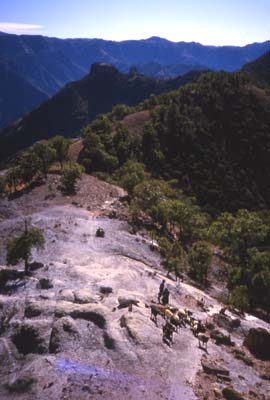
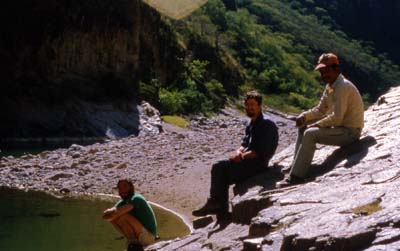
I met Lars from Denmark on the train and talked him into the 5000' unmarked and unmaintained descent. We soon ran into some young shepards.
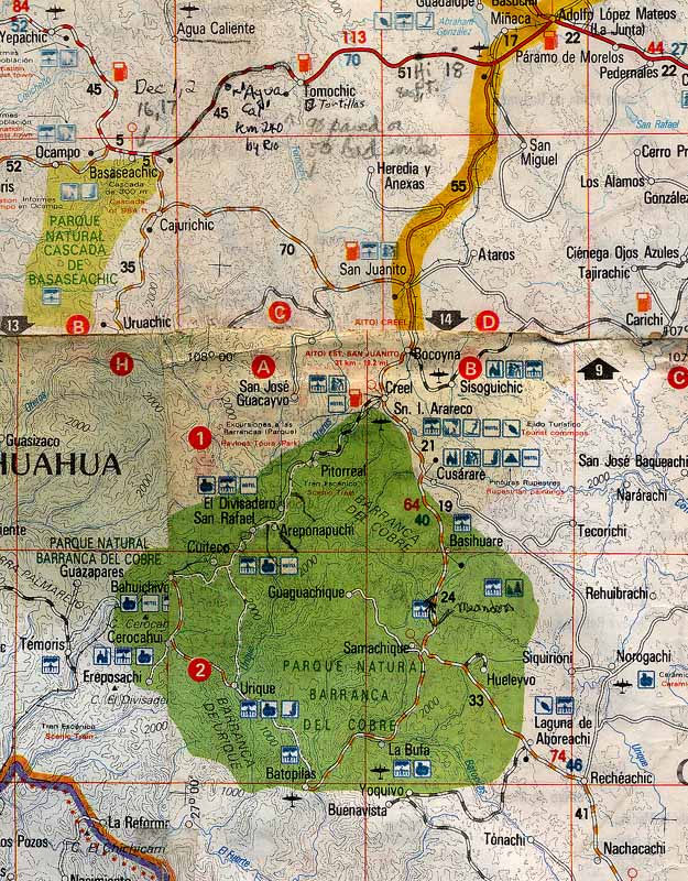
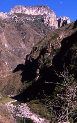
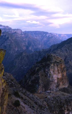
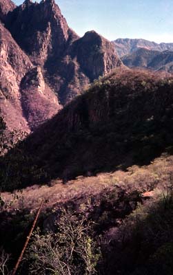
Basaseachic (highest waterfall in N. America at 984')and Copper Canyon Natural Parks in the state of Chihuahua, Mexico. Creel, center, is 5 hours west of the City of Chihuahua by bus and the jumping off point for most travel.
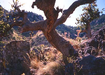
Soon the pines at the top of the canyon gave way to oaks.
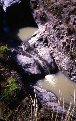
About 2000' down we thought we would be efficient by bypassing the 3-house village of Bacojipata just off the trail. Instead of asking directions there we followed the dotted line which the official topo map showed would lead to the river another 3000' below. We stopped at some pools we saw in a little side canyon.
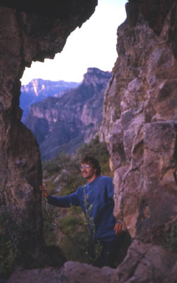
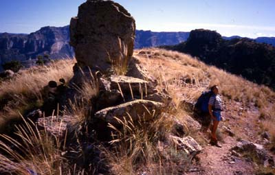
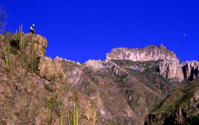
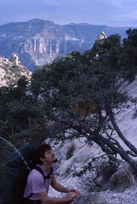
This is the author:
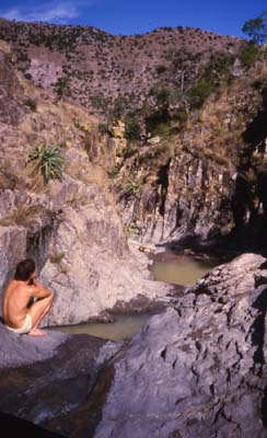
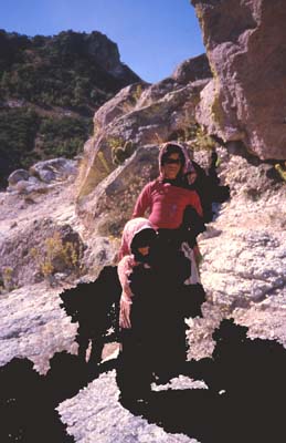
But the trail petered out above a 1000' of cliffs above the river. We were stuck for the night. Here's Lars:
The next morning, out of water, we climbed back up 2 hours and 2000' vertical back to the tiny village of Bacojipata:
These guys showed us the trail over a pass which took us from this side valley over to the next one with a trail which would take us down to the river.
Lars at the pass:
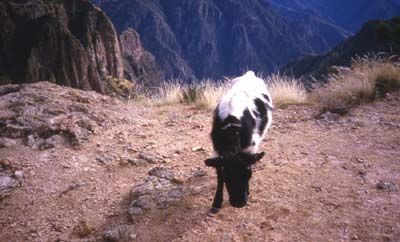
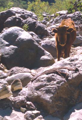
Cow with a view:
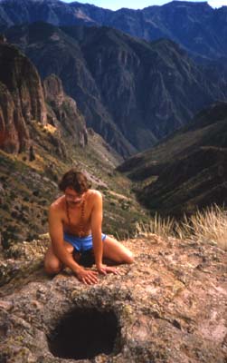
Lars contemplates a hole:
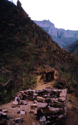
At about 1000' above the river we saw a house foundation being built. It's about 10' square.
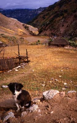
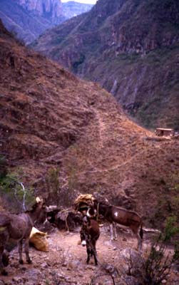
Near the bottom we encountered a tiny "naranjal" or orange grove, with a little house and some burros.
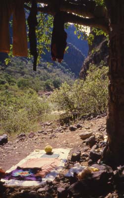
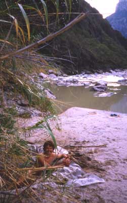
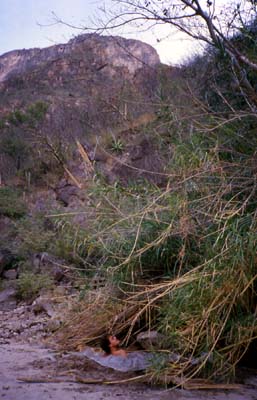
Nobody was about, and we set up camp:
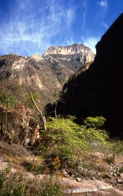
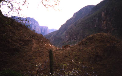
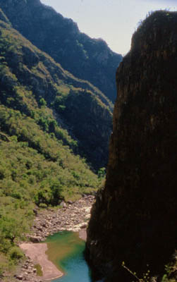
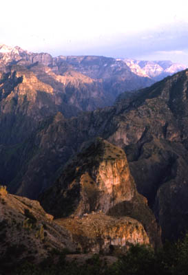
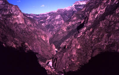
The killer view, from the Rio Urique 5000' up to the Pamachi mesa:
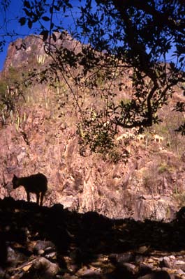
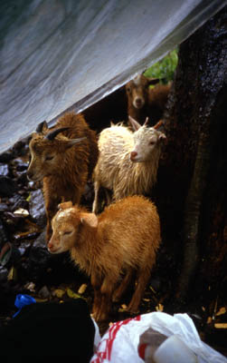
Goats, too.
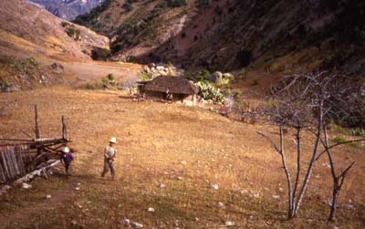
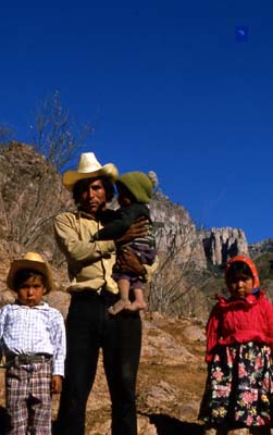
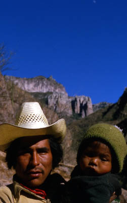
Finally, a person! The man of the house, Esteban, the orange grove below:
It actually took until the next year for him to let me take pictures of them, but here are his kids:
He spent a lot of time looking out at the canyon.
Esteban talked with us every day for a couple of hours. He'd only met a few foreigners before.
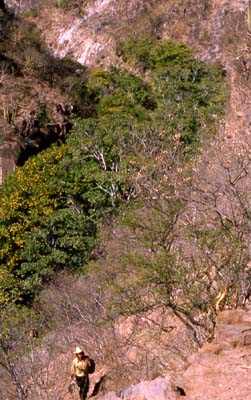
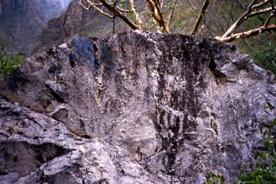
The canyon bottom is full of wonders.
Fred Hopman had told me about a hot springs in a side canyon near the bottom, but first we found a very hot springs pouring out of the main canyon wall into the sand. We dug a hole in the sand, lined it with plastic and jumped in. One person had to continually bring cold water from the river in a plastic bag to keep our bath from overheating.
Sweet, assuming you had a slave schlepping cold water!
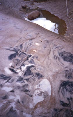
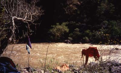
Amazing beaches and sand patterns:
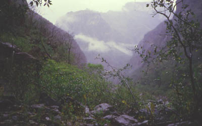
Usually there's one good rain after Christmas. This one was big, and probably came down as snow up above. I was in the hot springs -upstream on the other side of the river, and fortunately decided quickly to come back to camp before the river rose.
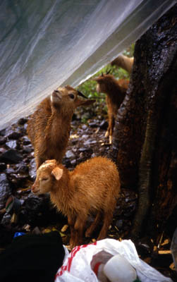
My plastic roof was very popular:
Drying out. The river went from about 3' deep to 7' and was impossible to cross without ropes for a week.
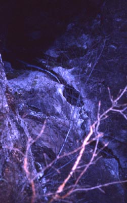
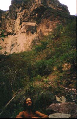
Esteban told me about a better hot springs up a side canyon downstream. Because of the deep water, I had to take the high route, which meant backtracking 1000' vertical back up to where the new house foundation was, and taking a tiny, scary trail which went past this cave:
Now I was coming back down to the river:
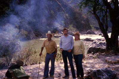
At the bottom I met a local guide Roberto and 2 Canadians who still had vertigo from riding burros down on a precipitous trail:
Here I am, in the Sisiguichi hot springs. By now in 2002 I've been there about a dozen different times. It's my favorite winter retreat.
The slime in the hot springs:
The next year I met 2 guys who just graduated college and were gung ho to walk the canyon all the way to the only town in the canyon, Urique. Ha! We took a different route down which turned out to be much harder than the previous years' route.
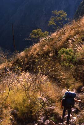
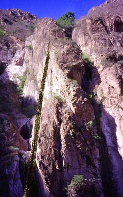
In general the canyon gets steeper the deeper you get. Our final descent, on a path as narrow as 3 inches:
At the bottom we met a local guy. This was about 3 miles --and a full day's journey!-- upstream from Esteban's orange grove.
There were hungry cows -who thought our smelly sneakers a delicacy:
This guy was really strong -and headstrong enough to endanger himself and his much weaker partner. Trying to find a way down-canyon, he led us up a cliff until I said I was going back down to walk in the river. His friend decided to join me, but discovered he couldn't climb down without first dropping his pack. Luckily, it didn't rip open. We parted company soon thereafter. When I made it to Urique a week later, they'd never arrived -and you couldn't miss gringos in that town. I ran into the other guy at a farm in Colorado's Wet Mountains months later, and he told me they'd given up and left the canyon soon after we parted.
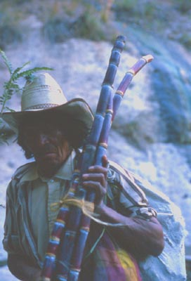
I was relieved to have the hot springs all to myself. Except for this guy, who sold me one of his sugar canes:
These last photos were taken in the last few years after I'd figured out how to go directly to the good (downstream) hot springs. Jose Manuel Torres, age 70, showed me a wonderful and scary side trail leading to these parallel waterfalls -without much water in this photo:
Both the last and next photos show the 15' flowering stalk of the century plant.
The evening view from my favorite overlook 5 minutes above the hot springs:
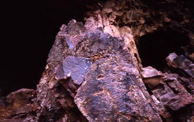
At the hot springs, you camp under this giant boulder -or risk deadly falling rocks:
Both years, after all that solitude, I was ready to socialize in Urique, the only sizeable town (1000?) in the canyon bottom.
