Upper hot springs, waterfalls and the big river below; 2 or more nights in the canyon.

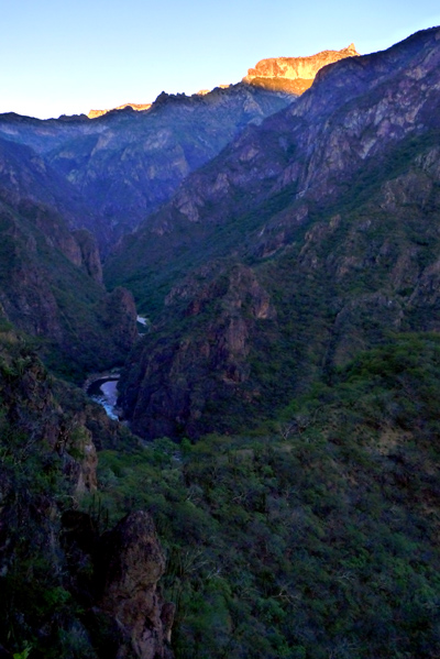
Last sun above Urique River from the Great Overlook

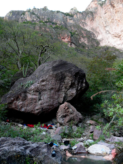
Upper hot springs; camp under boulder
We start in the tourist town of Creel. A 1-hr. bus trip takes us from our hotel to the trailhead. We walk an hour gently up (gaining 400′ vertical) and stop at a spectacular overlook for lunch. Then an hour gently down along a long peninsula jutting into the canyon. Now we descend 120 steep switchbacks. 2 hours later and a half mile lower (and 10 deg. warmer!) we stop at a nice spring and wash up. We pass a 2-house settlement, descend some more and arrive at the Upper Hot Springs an hour later. There are several little pools, from hot to lukewarm.
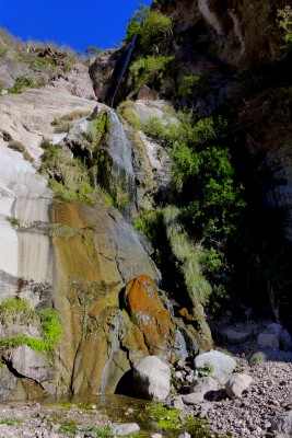
We can camp under the boulder in the photo, but now have a nicer sand campsite nearby. The Great Overlook is a 10 minute hike. The next day we might just do the 40 minute hike/climb to the waterfalls (see the video below) and Flying Saucer Rock or descend the last 500′ to jump in the river (it’s pretty cold for swimming!) and visit Tarahumara Indians.
We walk as high as elevation 7800′ , camp at 3500′, the river is at 3000′. The last day is the hardest: 4300′ back up the way we came – but without the food weight.
These are not the commercial Recowata or Basirecota hot springs near Creel. These are much deeper in, far wilder and more spectacular. A mule train passes the Upper Springs a few times a week and families from the settlement come to bathe. The bottomlands are the subtropical area closest to the Rockies. The top has periodic snow in winter.
Getting to the best waterfalls requires a bit of easy climbing, as seen in this video.

